
Ten years ago, you’d be hard-pressed to get a positive reaction from a regular consumer if you were to mention drone technology. Back then, the concept was still mostly relegated to its military application—something you heard about on the news but have not seen with your own eyes.
Today, however, you can buy state-of-the-art “drones” that fit in the palm of your hand. Many of which will hover, self-correcting their position all on their own without any human intervention. The consumer application of this once little-known technology has exploded.
What is a Drone?
Of course, when we mention drones in the consumer sense, we are most often referring to what is known as a “fixed-wing” or “quadrocopter.” To put it simply, a drone is an unmanned aerial vehicle (UAV) driven by two or four rotors. While UAVs can come in many shapes and sizes, the standard 2 and 4-rotor designs are well-suited for their purpose—to provide consumers with a simple, steady flight via remote control.
UAVs are easier than ever to purchase. Consumers can go to any big-box retailer and find one for less than $100. However, the variety of UAV needed for our purposes at BFW/Marcum are high-end, state-of-the-art, and come at a cost.
Aerial Drone Tech is a Costly Yet Priceless Investment
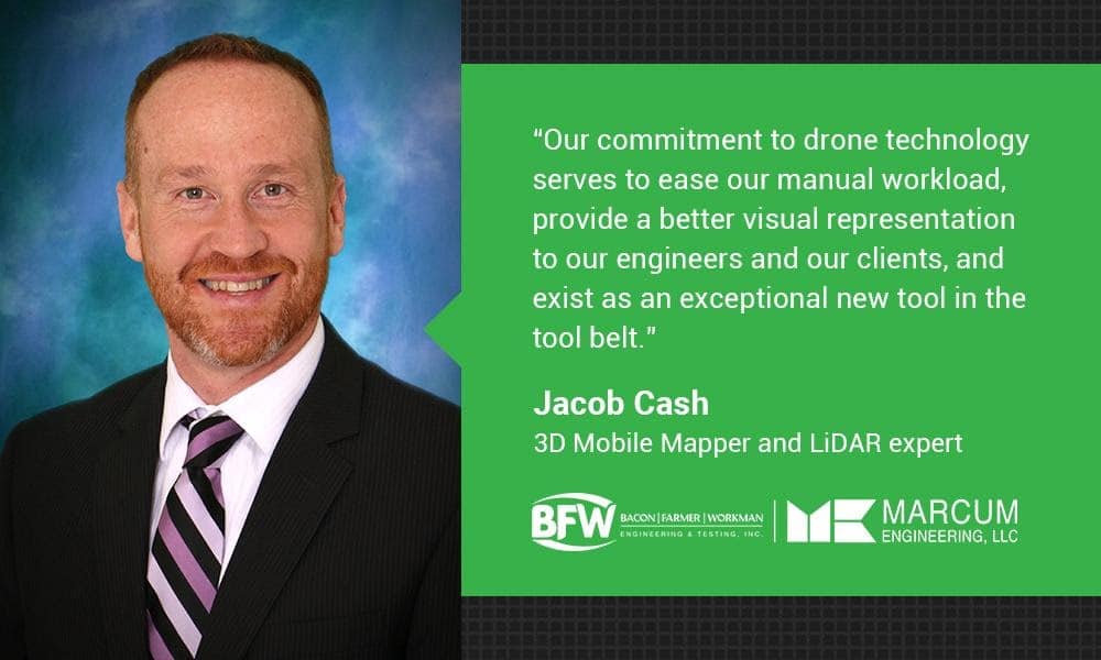
Jacob Cash is our 3D Mobile Mapper and LiDAR expert.
He’s done exhaustive research on UAV technology and how it relates to our firm’s engineering services. According to this research, a varied arsenal of UAVs works best. Each model has its own unique purpose, which comes together to give us a high-tech competitive edge in the field.
“Here at BFW/Marcum, we use two types of drones. The Wingtra WingtraOne is used for mapping only. This is a VTOL (vertical takeoff and landing) drone. The WingtraOne sets itself apart from the others by the area that it covers, safety, and the ease of takeoff and landing.”
“We also use a four prop drone, known as the Anafi Thermal, manufactured by Parrot. It’s used for smaller mapping jobs, inspections, and promotional pictures/video. It also has thermal capabilities for inspections on solar panels, concrete defects, sinkholes, roof leaks, and many other uses.”
The WingtraOne is a more powerful UAV and used primarily for our big mapping and surveying jobs. The Anafi Thermal, on the other hand, is perfect for smaller projects or ones that need thermal imaging. No one UAV is better than the other—much like our team here at BFW/Marcum. Each one has a preferred role, and each one excels at it.
Putting a Drone in the Sky Takes Skill & Authority
With the increasing prevalence of UAV technology comes an increasing wariness from the public as well as the FAA. Today, a drone purchased from your local Best Buy could hypothetically compete for airspace with a commercial aircraft, meaning that not just anyone can put a UAV in the sky. On the contrary, the ability to fly a drone takes not just considerable skill but the correct authority to do so.
Jacob has done the intensive work to become an FAA Certified Small Unmanned Aircraft Systems (sUAS) Remote Pilot, one of the few engineers with this certification in our region.
“FAA Certification is an extremely comprehensive, month-long process. You have to study weather, regulations, and procedures. Afterward, you’re subjected to a live test at an airport. Out of all the challenges I faced, the thing that stuck with me most was an appreciation for acknowledging how your actions have consequences.”
“As a recreational pilot, you really don’t appreciate the effects of how you fly your aircraft. When operating a UAV, it takes serious planning and thought to make sure I take the public’s safety in mind, make sure the weather will not affect the flight, and also check though an extensive flight plan.”
Modern drones may come with plenty of sensors and algorithmic data to keep them in the air with just a push of a button, but, to fly a drone well—safely and with a purpose—you need training and to commit to understanding every inch of the vehicle.
Innovation Means Forging Your Own Path While Others Follow in Your Footsteps
We still see plenty of opportunities at our firm to survey, map, and perform thermal imaging on foot. Handheld surveying will always be an important component of our industry. However, we’re forging a hybrid path that combines the old and the new, and we’ll let our competition follow in our footsteps. Jacob had a few last words about the current state of UAV technology.
“Drone technology is the most advanced technology we have in the surveying field. It is catching on at an exponential rate, and the technology improves by the year. Surveying, in the old-fashioned sense, will not die out.”
“You will still have to have boots on the ground regardless of the advances. Our commitment to drone technology serves to ease our manual workload, provide a better visual representation to our engineers and our clients, and exist as an exceptional new tool in the tool belt.”
Recent Comments