As temperatures drop, we start to enjoy that special season we call Fall. Sure, it’s time for sweater weather, football season kicks into gear, and suddenly everything is flavored with pumpkin spice. However, Fall is also the time of the year that engineers like to break out their toys; the ones that soar through the air.
No, we don’t moonlight as falconers. We’re talking of course about drone surveying, something we’re proud to offer as a survey solution. You might be wondering why Fall is the definitive “drone” season for engineers. We asked Jett Wood, PLS/Project Manager, and Jacob Cash, 3D Mobile Mapping/LiDAR Manager to explain.
Less Foliage Gives You a Bird’s Eye View
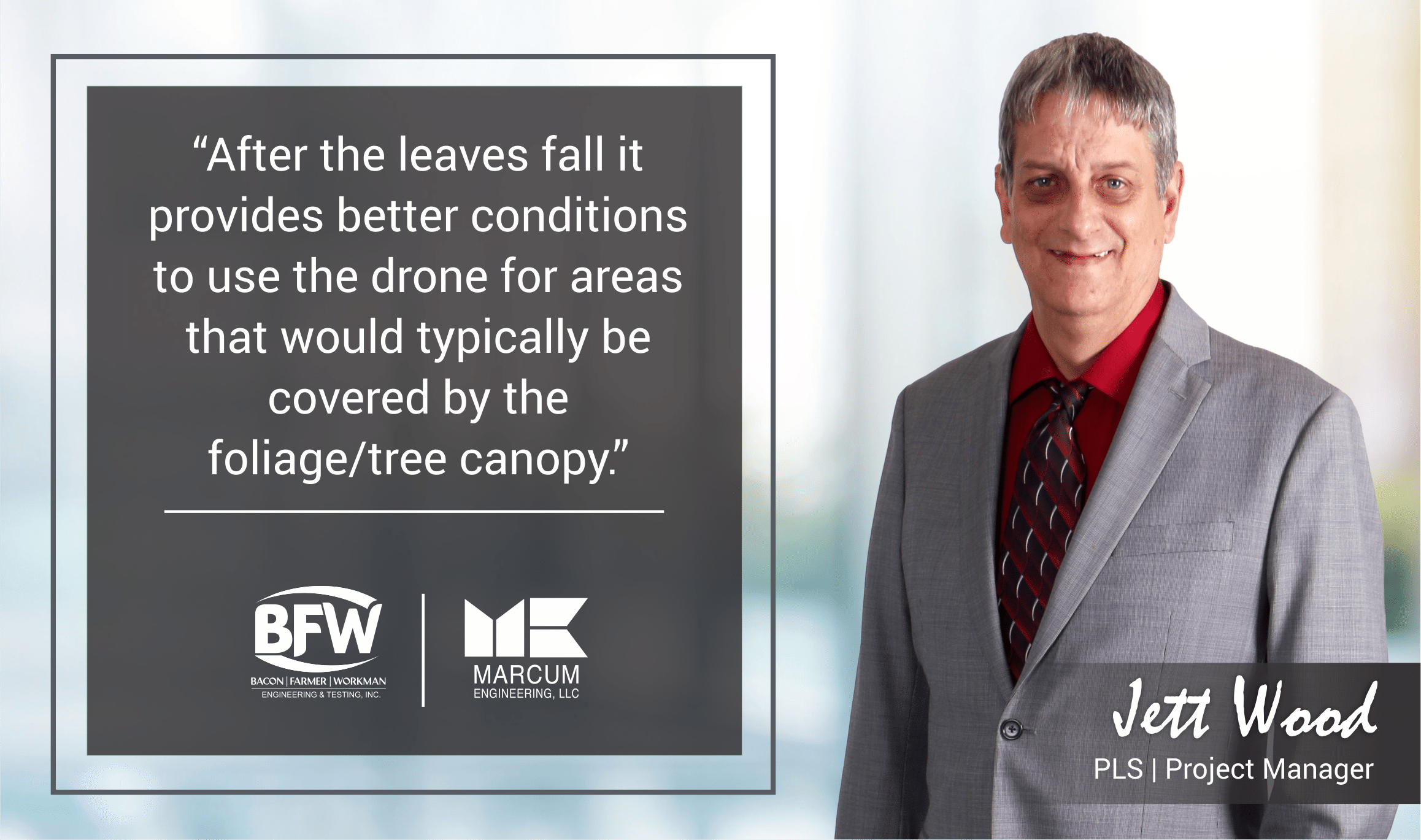
“After the leaves fall it provides better conditions to use the drone for areas that would typically be covered by the foliage/tree canopy,” Jett explains.

Jacob goes a bit further into this phenomenon. “Fall and even Winter are the optimal time to capture Unmanned Aircraft Systems (UAS) imagery. We use a UAS with a 21-megapixel camera that takes multiple pictures, stitches them together, then uses focal length to create a model of the terrain. This is why fall and winter are the best time to fly.
I like to explain my work with analogies; A LiDAR UAS creates points like an old-school sprinkler. They spray out dots and some of those dots will reach the ground surface just like the sprinkler water drops reach the surface of the ground when spraying. Naturally when there is less foliage more of the “sprinkles” reach the ground.”
Even with Drone Surveying, You’re Not Just a Button-Pusher
Drone surveying has changed much of how we capture our data. We still use both the old and new technologies, which Jett explains.
“We call land surveying without a UAS the ‘conventional method’ because it’s still used for many applications. You have to traverse around the land yourself, make multiple setups, and take individual shots, which you stitch together with software.”
In-air and on-land surveying are still both required based on client needs, terrain limitations, and many other reasons. In engineering, you learn that adding to your wheelhouse is a good thing and to be cautious when replacing something with something else. If it still has its use, then you want to keep it.
Yet, as drone technology improves, its capabilities become exponentially greater. With this technology comes a new level of sophistication but it still requires a knowledgeable hand. There is no “button pushing”, even in drone survey work. Jacob explains this learning curve.
“There are multiple restrictions, requirements, and just common sense practices that come with UAS photogrammetry capture. Just like any tool in the belt UAS’s have their specific place in surveying and engineering.

The most complicated part of my job is explaining what the UAS CANNOT do. People get misconstrued when it comes to new tech. The stigma that if it’s new it will do it all! Having a conversation with the client whether it be external or internal is crucial. It is imperative to set those expectations from the start. After that, together we can get a clear picture of how the UAS can be a great addition to the project.
All of the conventional methods of surveying are a necessity to some projects, but if you supplement with an aerial image that could affect the design of the project after the engineers see visually what’s going on. UAS’s also cuts the time of ground data capture if you have a project that is well maintained or bare earth. Flight times for a 200-acre site would take me minutes to capture and less time in the office to create a deliverable than it would if we located the site conventionally. And as a bonus, we can send our crew to another site where UAS services are not needed! Planning, accuracy, and efficiency are key in a surveying/UAS.”
New Doesn’t Always Mean Better; Better Means Better
As engineers, we’re constantly discovering new tools and methods to make our job easier. However, we’re the first to admit that “easier” does not mean “better”. On the contrary; better is better. What does that mean? We do honest work, strive to exceed our clients expectations, and never stop learning. Drone surveying is another tool in our arsenal; our work ethic and principles are what makes us good at our jobs. Beyond that, to operate a drone, you need to be certified by the FAA.
“The FAA test was more challenging than I thought it would be,” Jacob explains. “I believe the FAA created the test to be challenging to make pilots think about their actions when they fly. We currently have myself and one other pilot on staff. Having an extra pilot helps out when we have a large project in a tricky flight area.”
Jacob and Jett both agree that survey work is about communication more than it is the tools and technologies at your disposal. Setting expectations with clients comes first, everything else comes after. Drones or clients; we want them both to have the clearest picture possible of the lay of the land.

Recent Comments