
News

Turning Real Challenges into Real Solutions: How BFW/Marcum Is Teaching AI to Work Like an Engineer
We are engineers. That means we understand the use of a good tool. To us, AI isn't a novelty or a shortcut, it's simply another tool in the arsenal, and one that we think has its value when supported by a solid team of knowledgeable people. As the tale goes: a client...
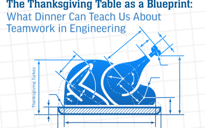
The Thanksgiving Table as a Blueprint: What Dinner Can Teach Us About Teamwork in Engineering
Thanksgiving dinner is often the ultimate exercise in coordination: multiple dishes, tight timing, surprises (dietary restrictions, last-minute guests), and a shared goal — delivering a warm, satisfying feast all at once. In many ways, it mirrors the behind-the-scenes...
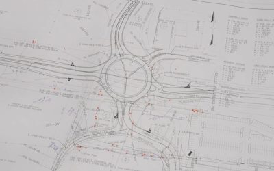
Transportation Thought Leader: What Former DOT Pros Bring to Your Project
Why DOT experience changes outcomes Barry Horst says the real advantage is knowing how agencies actually work: expectations, regulations, and the financial playbook. That knowledge shortens the learning curve and helps cities and counties avoid costly wrong turns in...

The Rise of the Roundabout: Why They’re Becoming a Common Sight
If it feels like roundabouts are popping up more often on Kentucky roads, you're not imagining things. Communities across the region and the country are rethinking how intersections work. In many cases, they’re choosing roundabouts over traditional traffic signals or...
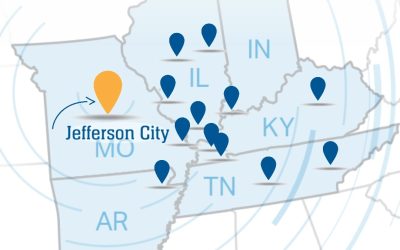
BFW/Marcum Expands its Missouri Presence with New Jefferson City Office
BFW/Marcum’s steady growth continues with the opening of a new office in Jefferson City, Missouri. The Missouri Department of Transportation’s Statewide Transportation Improvement Program plans to invest $14.6 billion in transportation infrastructure over the next...
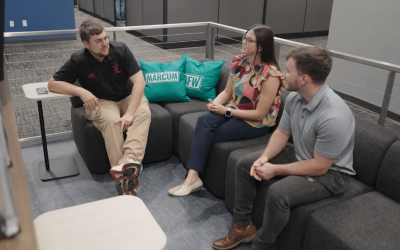
Building Connection and Growth: Inside BFW/Marcum’s Young Professionals Group
As BFW/Marcum continues to grow, so does its commitment to investing in the next generation of engineers. To meet the needs of early-career professionals, Staff Engineer Nikki Gregory and Project Engineer Jase Baker launched the company’s Young Professionals Group...

An Engineer’s Guide to Friday Night Lights
Dear reader, I'm here to explain why Friday night football in small-town America isn’t just a game. Rather, it’s a highly coordinated, multi-disciplinary engineering project that happens to involve teenagers tackling each other in front of half the county. From an...

BFW/Marcum’s University Impact: Building Future Engineers
In today’s competitive engineering landscape, securing top talent requires more than just job postings and interviews, it demands proactive engagement, mentorship, and a commitment to professional development. BFW/Marcum understands this challenge and has taken a...
BFW/Marcum and the Future of Inland Waterways
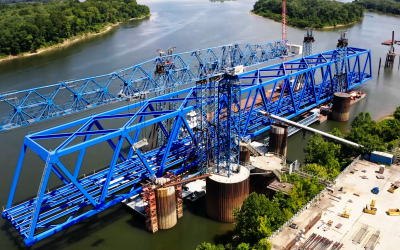
At BFW/Marcum, we’ve long understood the importance of inland waterways. They’re not just a crucial part of the nation’s freight network. They serve as the economic backbone of many heartland communities. With more than 12,000 miles of navigable rivers and over 200...
BFW/Marcum: Leading the Way in Judicial Facility Design
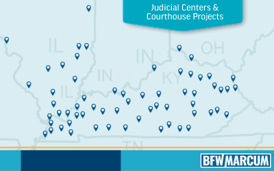
We’ve spent decades designing the spaces where justice takes shape. Courtrooms, judicial centers, and courthouses that serve real people in real communities. From bustling urban courthouses to quiet county judicial centers, our work spans decades and dozens of...
Logos & Brand Guidelines
When using our logo, please follow our guidelines included in the download link below.
[custom-facebook-feed feed=2]