
News

The Engineer’s Guide to Pumpkin Carving
Well, well, well. Look who decided to crawl out of the engineering shadows. It’s been a while since we’ve heard from our mysterious, self-appointed expert, Mr. X. Long enough, in fact, that we thought perhaps he had retired his unsolicited “guides” for good. We were...

BFW/Marcum: Building More Than Just Resumes
Every summer, BFW/Marcum gets a fresh spark of energy. Intern season brings new faces into the office, but it also brings new ideas, thoughtful questions, and a chance to invest in the next generation of engineers. So what makes the BFW/Marcum internship...

From Blueprints to Artifacts: Why Archaeology Belongs in Engineering
In our previous article, Digging Deeper: BFW/Marcum Now Offers Archaeology Services, we expanded our in-house cultural resources services with the addition of archaeology. Now, let's explore why integrating archaeology into the engineering and planning process is not...

BFW/Marcum Expands into St. Louis: A New Chapter for Growth and Connection
BFW/Marcum is proud to announce the opening of our third Missouri office, located in St. Louis! This expansion marks a significant step forward, not just for our firm, but for the communities and clients we serve across the region. We asked Mark Workman, Chief...

Digging Deeper: BFW/Marcum Now Offers Archaeology Services
BFW/Marcum has long partnered with archaeological subconsultants, but rising project needs and expanding environmental requirements prompted a significant decision: establishing archaeology as an in-house service. Why In-House Archaeology? “We've seen a growing demand...
The Goal of the Goal: Why Marketing Matters in Engineering
Engineering lives at the intersection of precision and people. The challenge isn’t choosing between technical accuracy and accessibility. Instead, it’s holding both at once. For Ben Stinnett, our Chief Marketing Officer, that balance is the heart of effective...

Why Organization Is an Engineer’s Best Friend
What “good organization” really means Susannah Campbell, PMP, describes good organization as the blend of clear structure, communication, and accountability that keeps projects running smoothly from kickoff to closeout. As she puts it, good organization means making...
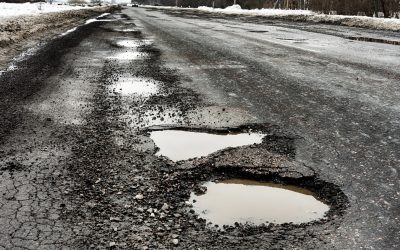
Inside the Freeze Thaw Cycle: Protecting Pavements and Structures from Winter Damage
As winter sets in across Kentucky and the Ohio River Valley, most of us expect icy sidewalks, frost‑tipped branches, and maybe a snow day or two. What’s easy to miss is how those same temperature swings quietly start to erode the integrity of the roads, sidewalks,...

Infrastructure Resolutions: How Communities Can Plan Smarter for 2026
As a new year begins, people everywhere are setting personal goals. Whether they’re eating healthier, organizing their lives, or committing to better habits. For communities and school districts, January can serve the same purpose. It’s a chance to take stock of aging...

Keeping Downtowns Welcoming: How Smart Infrastructure Supports Walkable, Lively Main Streets
When fall visitors arrive, a downtown either feels easy and inviting or it doesn’t. The difference often comes down to infrastructure and how we design streets, sidewalks, crossings, lighting, and signage to support people first. “Walkability of your downtown is...
Logos & Brand Guidelines
When using our logo, please follow our guidelines included in the download link below.
[custom-facebook-feed feed=2]